Our open data initiative
We publish curated Philippine geospatial datasets at gis.byzenterra.org, cleaned and documented, at no cost.
 Start a project
We turn location data into maps, dashboards and tools people can act on.
byZenterra advances GIS and spatial data infrastructure in the Philippines. We deliver end-to-end digital mapping, from fieldwork-grade analysis to the dashboards and web applications that put it in front of decision makers.
Our work is built on years of field GIS practice in real estate, renewable energy and telecommunications. For each engagement we assemble the cartographers, analysts and developers it needs.
Our mission: spatial data infrastructure for Philippine governments and businesses that is accurate, usable and increasingly open.
We publish curated Philippine geospatial datasets at gis.byzenterra.org, cleaned and documented, at no cost.
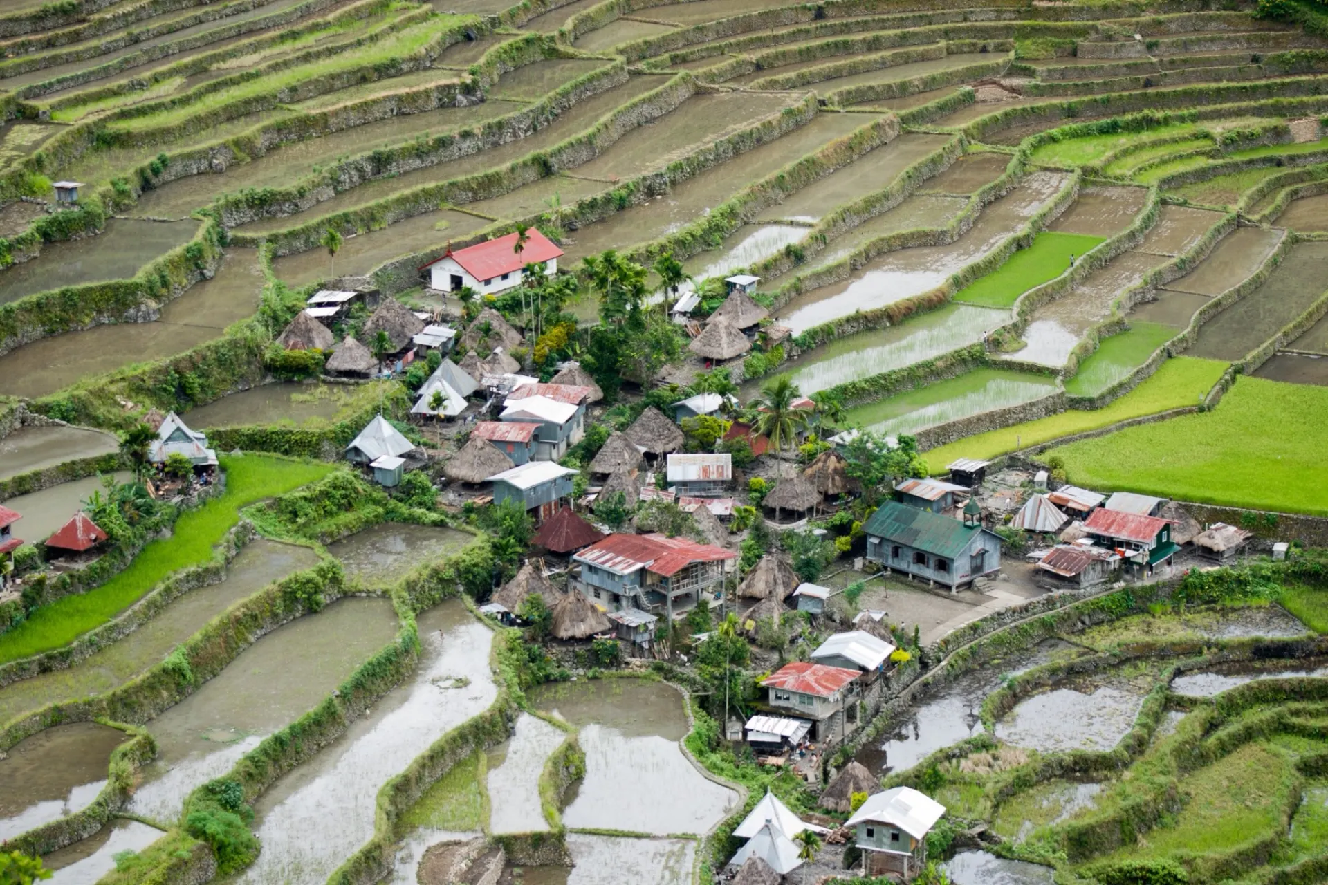
Photo: CEphoto, Uwe Aranas, CC BY-SA 4.0© 2026 Zenterra Systems Solutions
